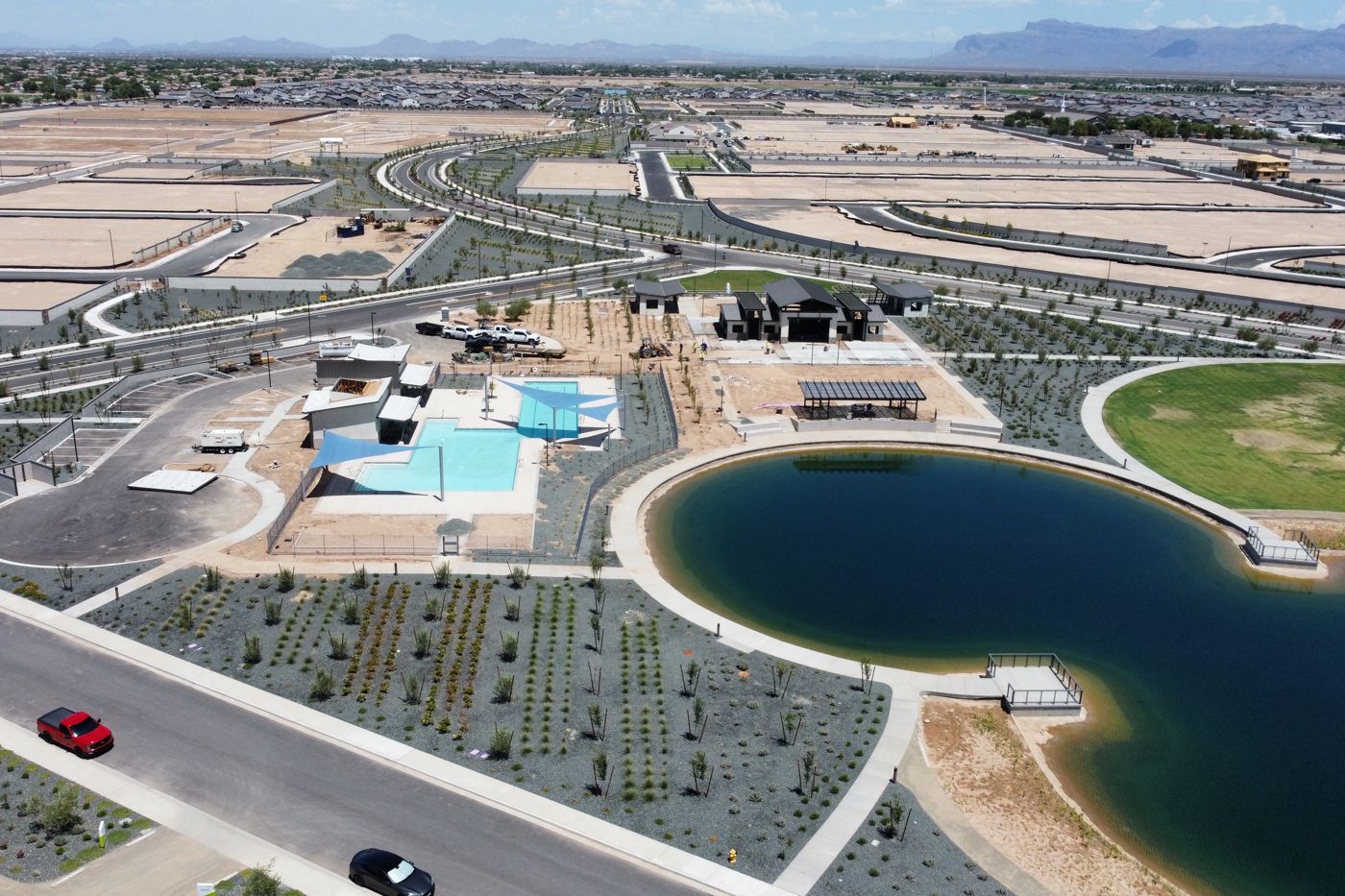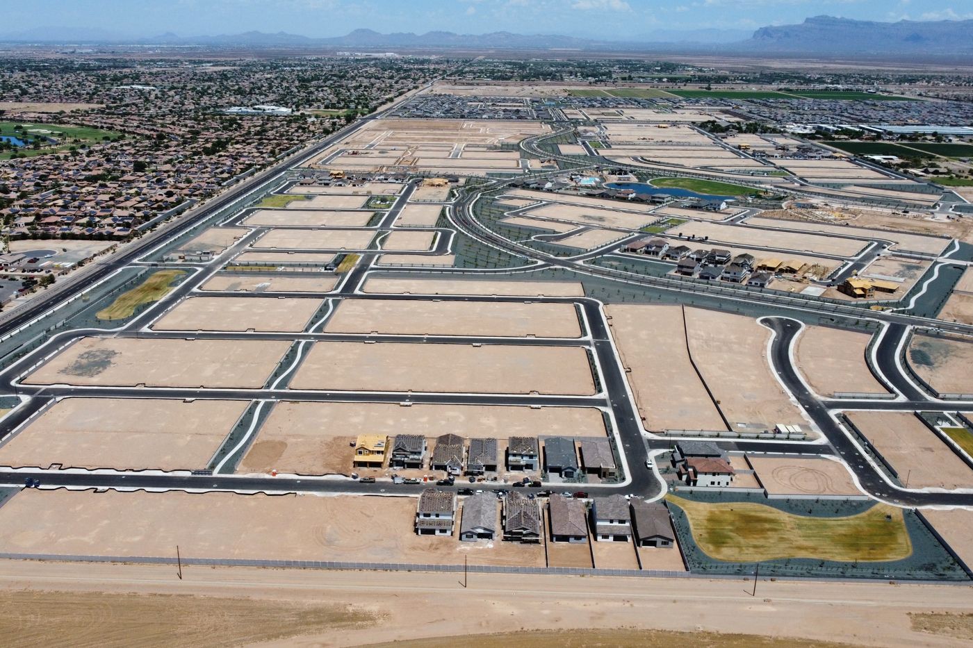
Aerial photography, 4K video and drone inspections for communities, HOAs, luxury estates, builders and public safety teams across Arizona. Flown by an FAA Part 107 Certified Drone Pilot and Licensed Private Pilot with 31 years in the air.


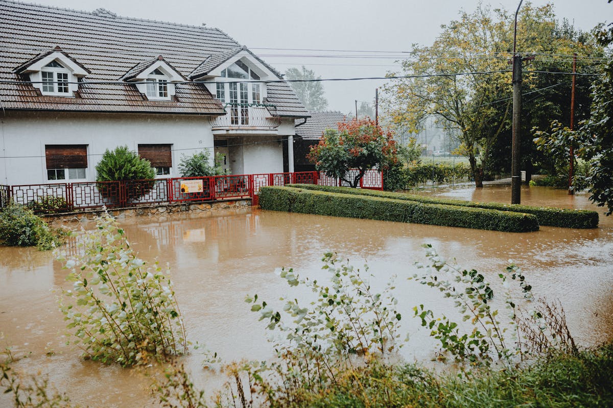
When monsoons and floods hit Arizona, insurers, adjusters, HOAs and public agencies need fast, dated proof of what happened. A drone captures in minutes what would take a crew days on foot, without putting anyone in harm's way.
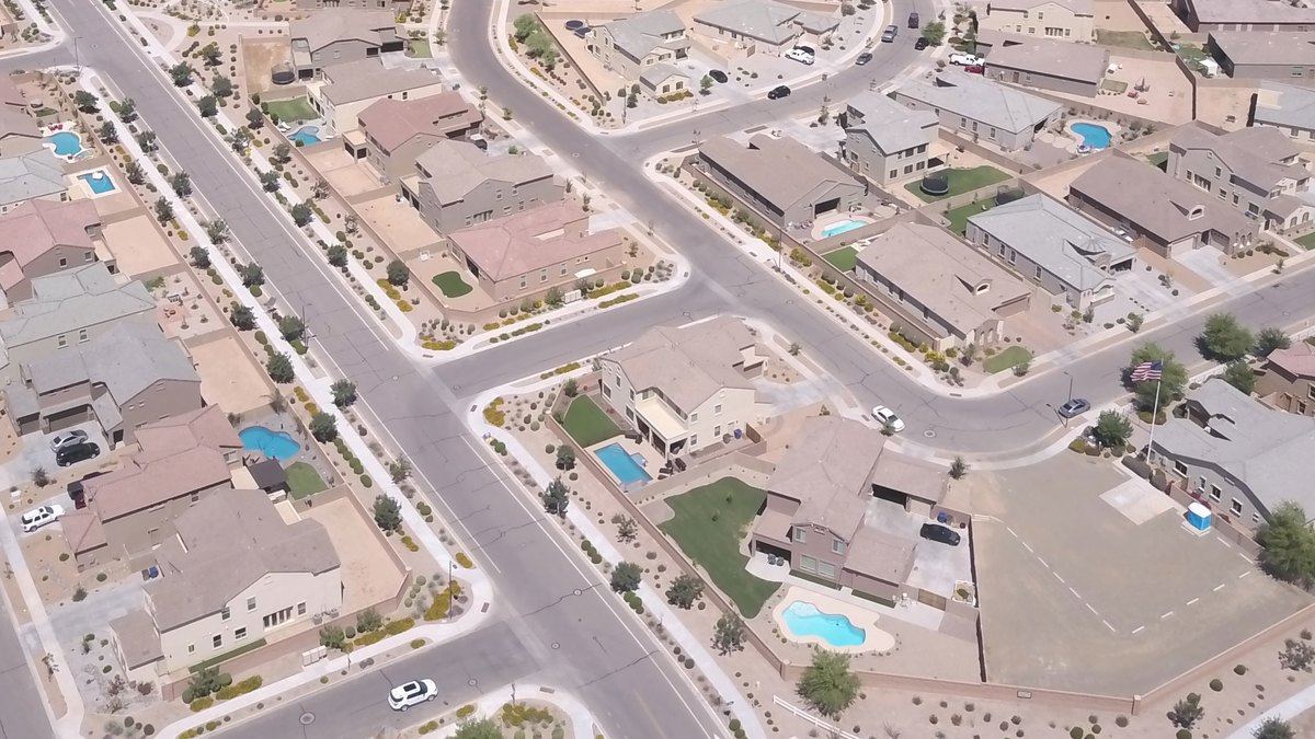
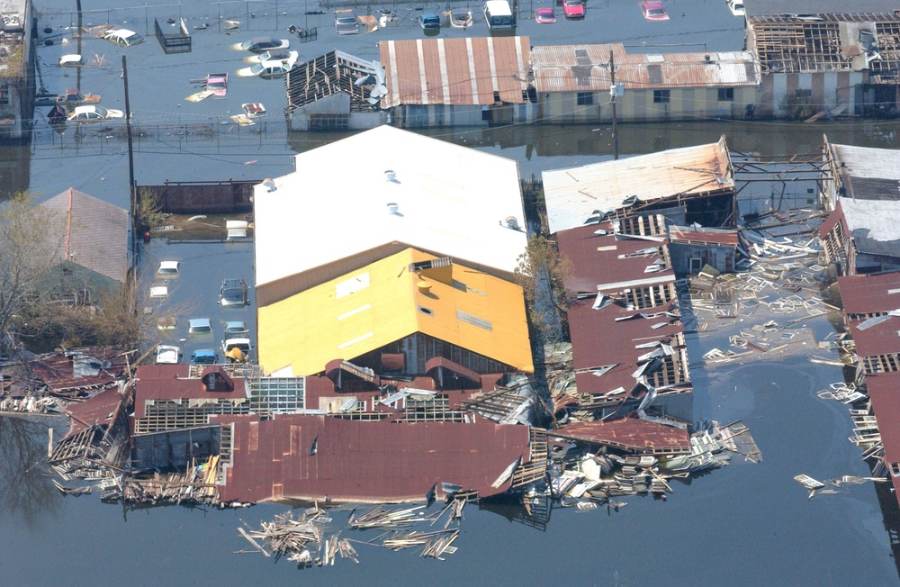
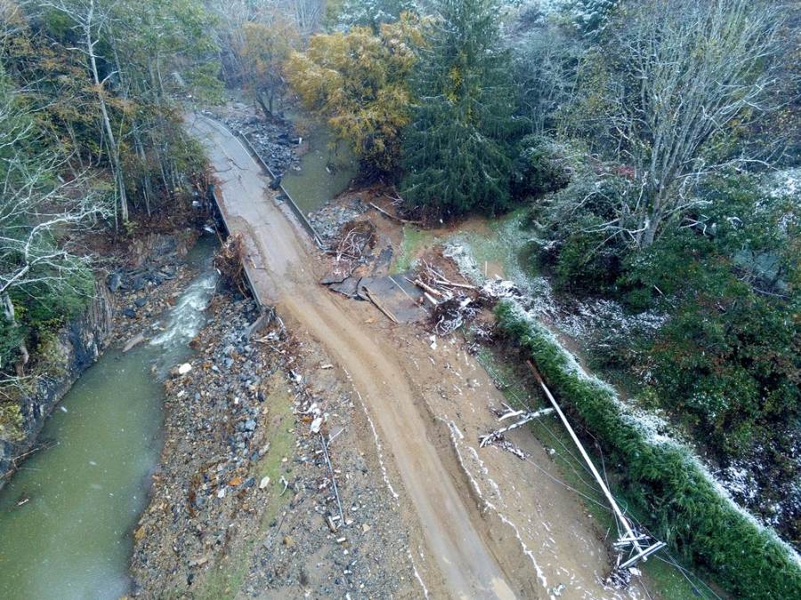
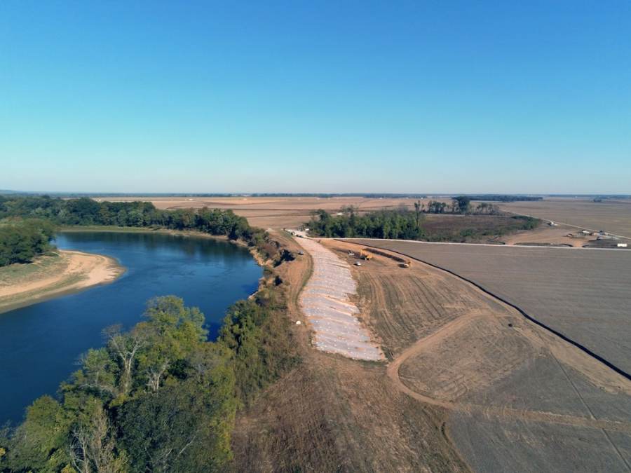
Top row: licensed stock photos and video (Pexels) showing the kind of damage drones document. Before/During/After photos 2–4 are example flood imagery from the U.S. Army Corps of Engineers (public domain, via DVIDS), showing the kind of documentation drones provide. Photo 1 is Rattler 6’s own work.
Show buyers the whole picture: the streets, the clubhouse, the pools and the views. From bare framing to finished amenities, we capture the shots that sell a community and a lifestyle.
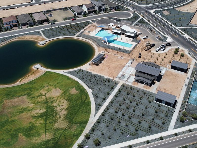
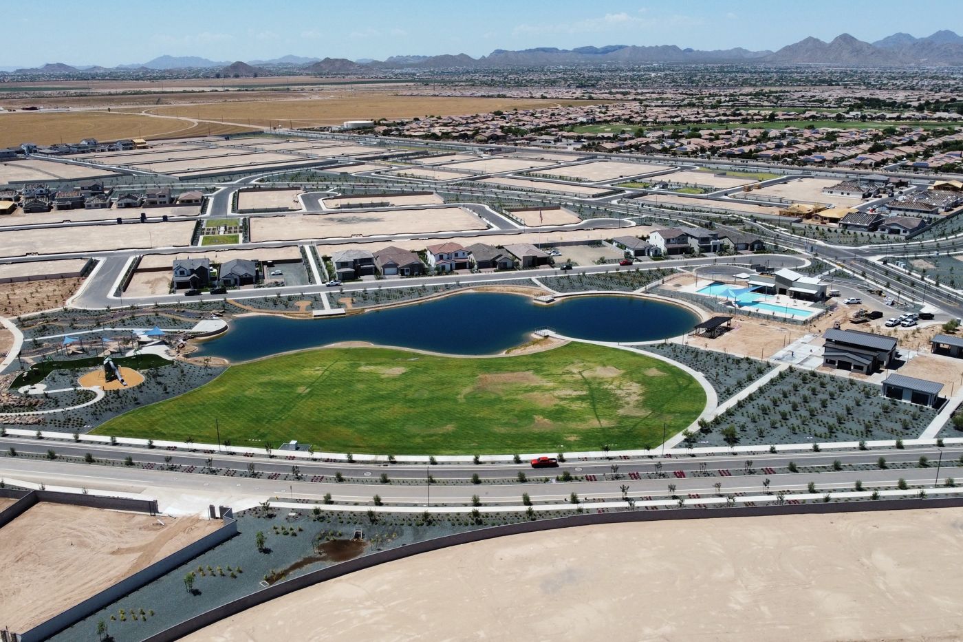
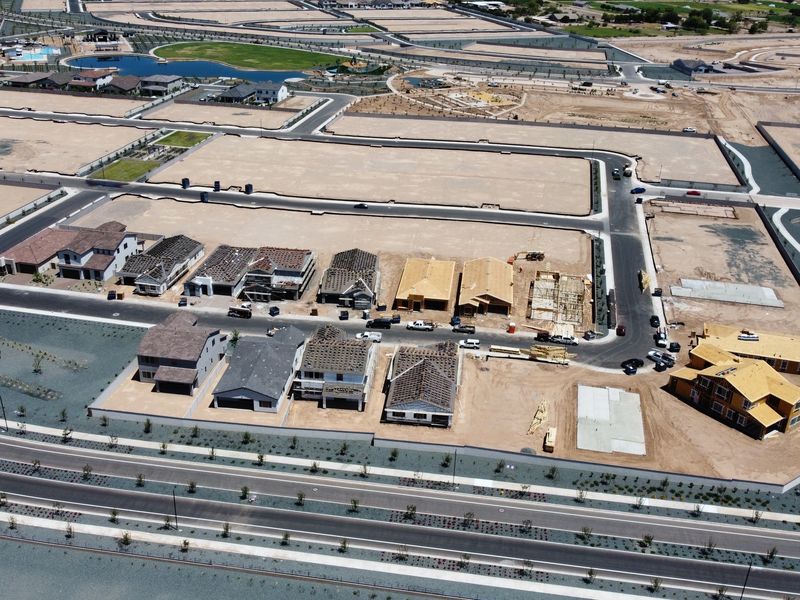
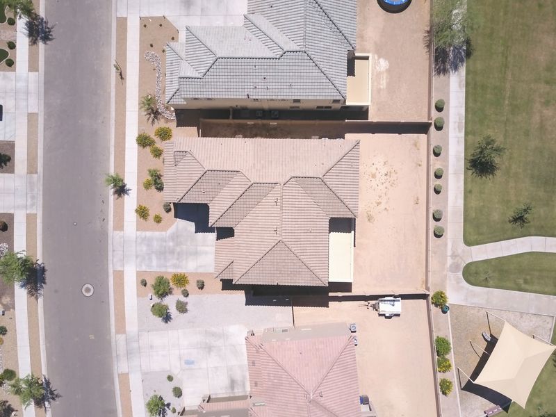
One flight shows your board what a week of walking can miss. Get clear, dated aerial records of your common areas, so you can spot problems early, plan your budget and keep the community looking its best.
We fly with respect for residents' privacy: flights are planned with your board, focused on common areas and community conditions, and never aimed at people.
From a single roof to miles of wash, we document land, projects and infrastructure for the people who build, maintain, insure and protect Arizona.
Roof, storm and flood damage documentation for claims
Before-and-after flood records, debris and erosion surveys
Canal banks, basins, reservoirs and dam overviews
Roadway, drainage and project progress documentation
Parks, facilities, events and code-compliance overviews
Grading progress, stockpiles and site conditions
Before-and-after records for bids, contracts and turf health
Amenity marketing, grounds checks and renovation progress
Lost a pet or livestock? Our thermal drone sees body heat in the dark, through brush and across open desert, covering ground a search party on foot can’t.
Now taking reservations. Thermal searches are launching soon. Call or send a request to reserve a scheduled search or get on our call list, and we’ll let you know the moment we’re flying.
Flying now: our 4K drone is available today for daytime photo, video and inspections (about 25 minutes per battery). Coming soon: a thermal and infrared drone with spotlight and speaker, flying about 35 minutes per battery, with spare batteries swapped on site to keep a search going.
Time matters: the sooner you call, the smaller the search area. Every search is flown by an FAA Part 107 certified pilot, and no honest service can guarantee a find.
When you need a top-down view, we bring it, for operations, documentation or marketing.
Take the raw footage for your own team, or let us deliver a finished video ready for your website and social media.
High-resolution 4K video and still photos, delivered by secure download and dated for your records.
Edited, music-backed videos of your community, amenities or project, ready to post and share.
Organized, dated photo reports for boards, managers, adjusters and contractors.
Every flight follows FAA Part 107 rules, including airspace authorization where required.
Yes. Every paid flight is flown by an FAA Part 107 certified remote pilot and follows FAA rules, including airspace authorization where required.
Flights are planned with the property owner or HOA board, focus on the property or common areas, and are never aimed at people or into homes and yards.
Your choice of raw 4K video and high-resolution photos, an edited marketing video, or a dated photo report for boards, adjusters, lenders or contractors.
Yes. We capture dated before, during and after aerials of roofs, washes, basins, walls and roads to support insurance claims and repairs.
Yes. Monthly flights use repeatable angles so owners and lenders can compare progress over time.
Tell us about your community, property or project, and we'll recommend the right flight plan and deliverables.